Ask the US Navy why ALL midshipmen are now required to learn celestial navigation. (sextant, compass, maps and guide tables)
Turns out, just like with small personal craft on the sea or on the road, devices do fail. Too much at stake not to have a backup plan. No one wants to end up on the rocky shore, like those all around Point Pinos.
Sure, but I only use a tiny fishing boat. Why do I need to know this ancient knowledge?
Remember Gilligan anyone? "A three hour tour . . . "
Storms, riptides, equipment failure, and more happen even now. (and Murphy's law says it will happen at the worst possible time.)
And of course you will no longer get your boat pilots license without passing Coastguard Maritime training in coastal piloting, which includes how to find your way without GPS (as well as the meaning of buoys, rights of way, fish limits, etc.)(all good safety tips!} see: US Coast Guard Approved Small Boat Courses
Note: this is an intellectual exercise and should NOT be used when actually piloting a craft in nearby waters.
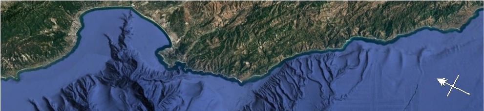
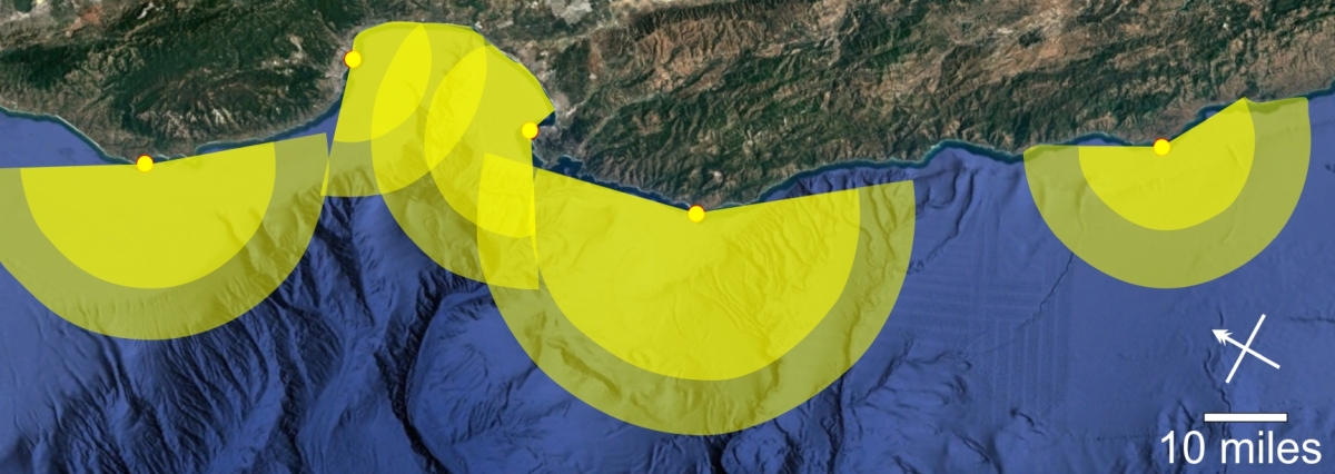
Imagine you are coming towards our coast line from the west. You see five lighthouses flashing. Which is which? (note, you are unlikely to see more than one or two at a time in real life)
Okay, I can see all five lighthouses in the image above. And I can use the flash rate to determine which one is which, right? What's the problem?
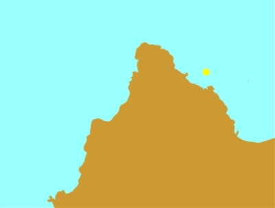
Ranges to horizon for each light (yellow) - Commercial ships (lighter yellow)
It is even easier now.
Ah, but you have neglected a few things.
The world is round and the curvature of the earth also blocks the view. Nothing is ever easy right? The above ranges are the maximums (calculated, not verified). As in NOTHING in the way, like buildings, trees, say a hill or mountain, or even a high wave. (FOG anyone?)
AND, This assumes you are in a commercial ship with a conning tower. Yeah, most personal fishing crafts are not high enough to see very far.
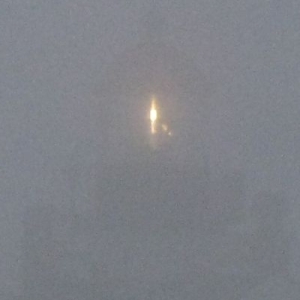
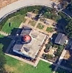
This effectively means you are unlikely to see more than one lighthouse light at a time (red roof during the day for PPLH). AND this does not take into account how bright the light is or if it is still using a Fresnel lens to make it easier to see (hint PPLH still uses theirs)
. . . So now what do i do?
Which lighthouse did you see? Here is important information about each.
You should now be able to figure out which light represents which lighthouse in the above images
Wikipedia has a wealth of information. Some useful terms:
"A nautical chart or hydrographic chart is a graphic representation of a sea region or water body and adjacent coasts or banks."
"A line: The correct nautical term for the majority of the cordage or "ropes" used on a vessel. An individual line will always have a more specific name (e.g,. the mizzen topsail halyard) that specifies its use. In sailing, a halyard or halliard is a line (rope) that is used to hoist a ladder, sail, flag or yard."
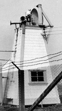
Foghorn pre 1993 near PPLH
Foghorns have/had characteristic signatures as well
PPLH had two short blasts in succession every thirty seconds
Removed because of the cost to maintain and local hotel guests complained about waking up at 3am.
Locals loved the sound. sigh.
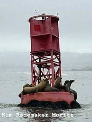
Buoys and bells near PPLH
barking sea lions not part of the 'official' buoy, but usually present.
R"22" Fl R 2.5s gong
R"2" Fl R 6s Bell
R"4" Fl R 4s Bell
When coming into port (Monterey Harbor) the buoy should be on your starboard side to avoid going into the rocky shoreline.
On the port side leaving port for the same reason.
Even amateur sport fishers need to pass minimal marine safety exam before being issued a permit.
Note: A Yellow Buoy is not an official navigation buoy, but is privately owned and maintained.